
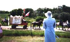
There are more pictures of the town shown in the Album.
|
|
|
|
|
|
|
*Forum* |

 Wood
Mountain, SK: Information About Our Community
History
 |
 |
| Feel free to copy a photo to
use elsewhere if you provide a link back to here and give credit to the
original photographer. There are more pictures of the town shown in the Album. |
| Maps Wood Mountain is in south-central Saskatchewan, one kilometer from the junction of Highways 18, and 358. Please feel free to print these maps for your visit. Google Map of the area |
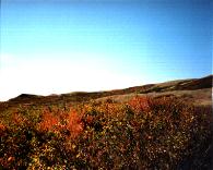
St. Victor's Petroglyphs Provincial Historic Park is an hour's
drive away,
as is Thomson
Lake Regional Park
where you can golf.
Gasoline and propane can be purchased in Limerick, Lafleche,
Rockglen, and Assiniboia. Opheim is the closest service station
in the USA. Some stations also sell Diesel fuel.
There are grocery stores and banks in Glentworth, Rockglen, Limerick, Assiniboia, and Lafleche.
Wood Mountain Regional Park usually has a vendor booth with
camping
basics and
meals at some times of the Summer. For more information about the
Parks' services, please use the appropriate link listed above.
Medical services are available in Assiniboia, Lafleche, Rockglen,
and Moose Jaw. 911 service is in effect for the Wood Mountain
region. RCMP are based in both Mankota and Assiniboia.
Economic, social, and investment information about Wood Mountain,
and the greater area can be found at Red Coat REDA.
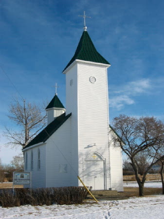
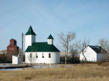
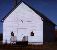 Roman Catholic Church, and formerly the United Church. The Catholic Church once had its own building, but it was destroyed by an accidental fire in the late 1970s. Since then, until ~2009 the two denominations worked together to maintain the building pictured above. |
|
 |
Return to the Wood Mountain Home Page
This page last updated June 7, 2011